National project map
Projects are plotted on a Zambia-wide overview map. Selecting a province highlights the matching project footprint.
This GIS section now reflects the projects captured in the Herrick submission document. Each project card combines a concise programme brief, implementation details, and an embedded map view using representative coordinates based on the named project locations.
Use the province filters to narrow the portfolio and see mapped project locations across Zambia without losing the existing project details below.
Projects are plotted on a Zambia-wide overview map. Selecting a province highlights the matching project footprint.
Quickly see which provinces currently have the strongest concentration of projects in the portfolio.
13 projects currently visible in the portfolio.
These charts are generated from the same backend project records that power the GIS portfolio, so any admin update or deletion is reflected here automatically.
Quickly compare how many projects are on-going, closed, or still evolving.
Shows the projects with the largest captured budgets from the current portfolio.
Track reported completion percentages across the current project set.
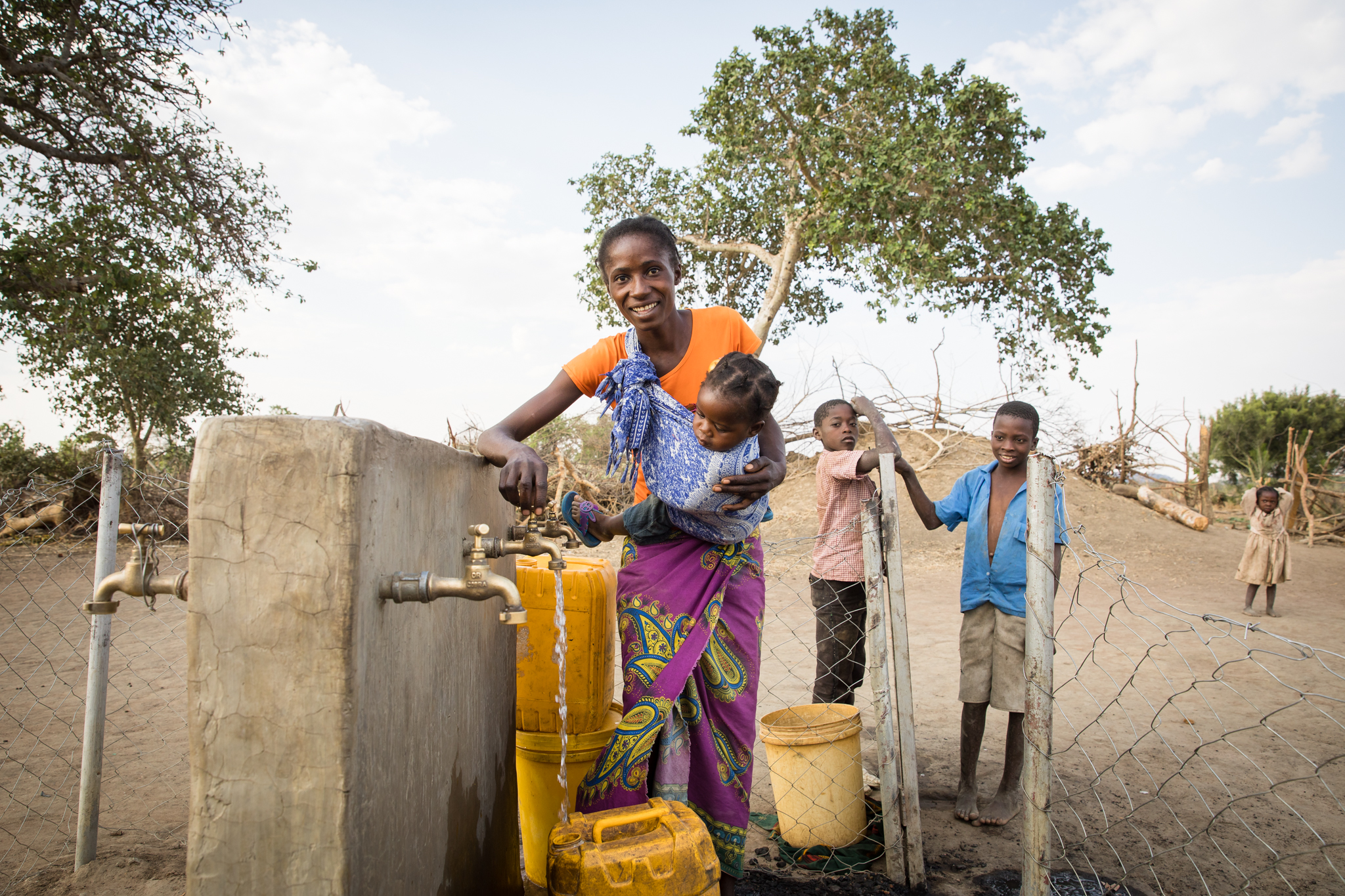
Water and livelihoods
Sub-basin resilience initiative aimed at vulnerable farmers and rural communities through adaptive livelihoods support and stronger climate-resilient infrastructure policy implementation.
Representative project marker for Kafue Sub-Basin
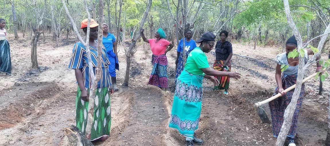
Forest regeneration
Central Province forest regeneration initiative that strengthened institutional coordination, improved adaptive capacity, and supported healthier forest and water systems.
Representative project marker for Central Province
Climate services
Climate information and early warning initiative that improved access to weather information for decision-making, with national relevance and emphasis in Agro-Ecological Regions I and II.
Representative project marker for National programme
Jurisdictional landscapes
Sustainable development programme for Eastern Province linking improved livelihoods, climate-smart agriculture, biodiversity, and verified emission reductions.
Representative project marker for Eastern Province jurisdictional landscape
Renewable energy
Utility-scale solar power plant in Chisamba designed to expand clean-energy generation capacity in Zambia with private and public financing support.
Representative project marker for Chisamba District
Catchment resilience
Integrated catchment management programme designed to secure Luangwa water resources while reducing deforestation, conserving biodiversity, and improving local livelihoods.
Representative project marker for Luangwa Upper Sub-catchment, Muchinga Province
Transboundary ecosystems
Transboundary landscape and livelihoods project supporting sustainable forest, land, wildlife, and basin management with strong community and household-level benefits.
Representative project marker for Zambian side of the Lake Tanganyika basin
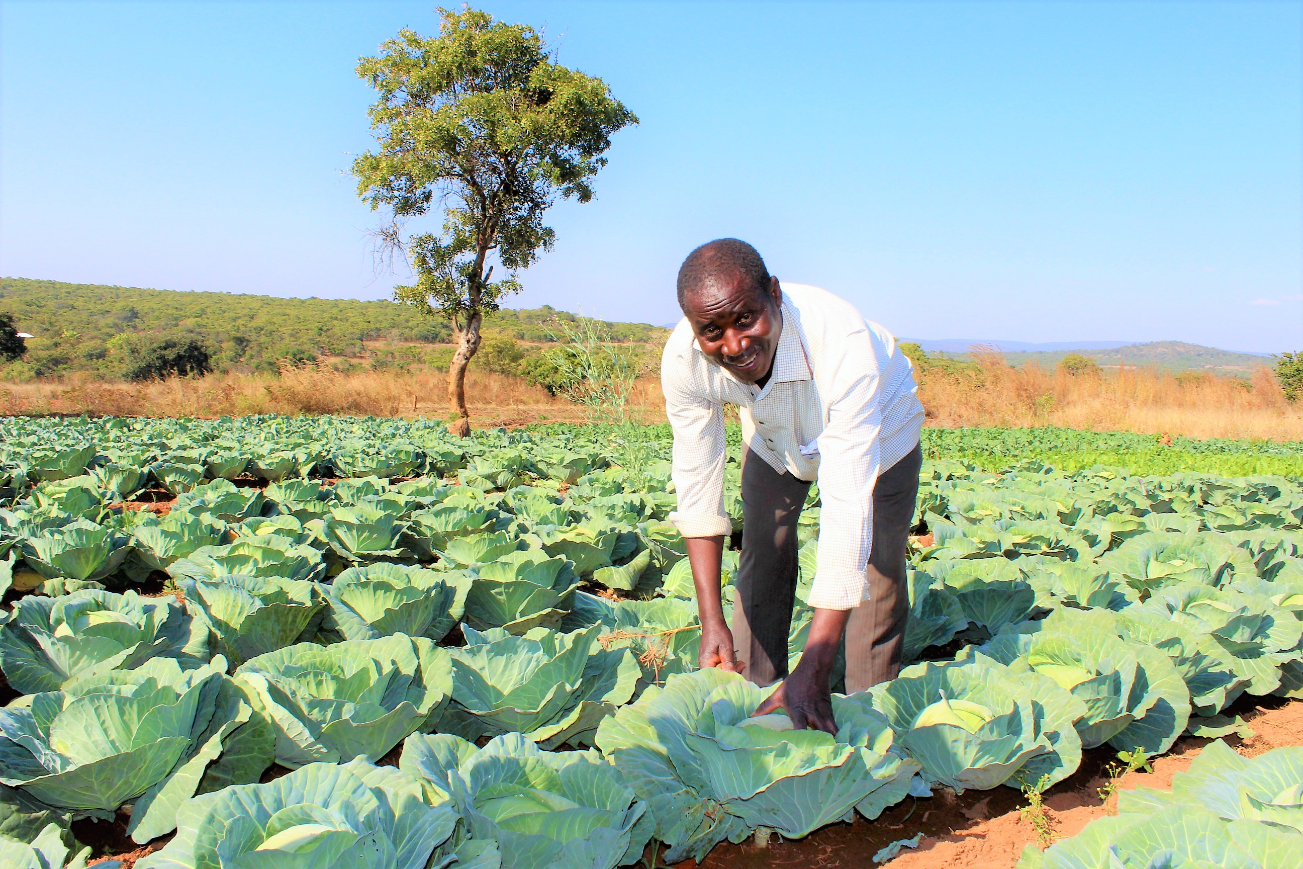
Agricultural resilience
Large-scale resilience programme for smallholder farmers focused on water planning, resilient agriculture, alternative livelihoods, and market access in 16 districts.
Representative project marker for Eastern, Lusaka, Muchinga, Southern, Western districts
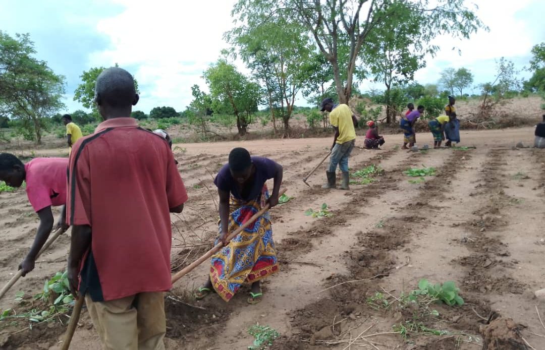
Climate-smart agriculture
GEF-funded programme promoting agroforestry, land restoration, climate-smart agriculture, and community-led forest management across multiple provinces.
Representative project marker for District clusters across five provinces
Community conservation
Community-based forest landscape management programme designed to strengthen regulation, planning, conservation, and rural livelihood opportunities in North-Western Province.
Representative project marker for North-Western Zambia
Ecosystem adaptation
Wetland and forest adaptation project introducing ecosystem-based adaptation in the Lukanga and Bangweulu systems to reduce climate vulnerability in dependent communities.
Representative project marker for Lukanga Swamps and Bangweulu Wetlands
Climate resilience
Second phase expansion covering 27 districts with land-use planning, weather monitoring, forest protection, meteorological strengthening, and a jurisdictional emission reduction programme.
Representative project marker for 27 districts across five provinces
Landscapes and livelihoods
Landscape resilience programme focused on natural resource management, community forests, protected areas, flood connectivity, storage infrastructure, and early warning systems across 16 districts.
Representative project marker for 16 districts across northern Zambia
/solarbytes/media/media_files/2025/03/22/zesco.jpg)

